
Open data scientists, developers and analysts working together on a common goal
A strong and efficient federal impact assessment process to ensure that environmental protection, partnership with Indigenous Peoples and a strong economy can all move forward together: that’s the goal of the Government of Canada’s Impact Assessment Act (the Act).
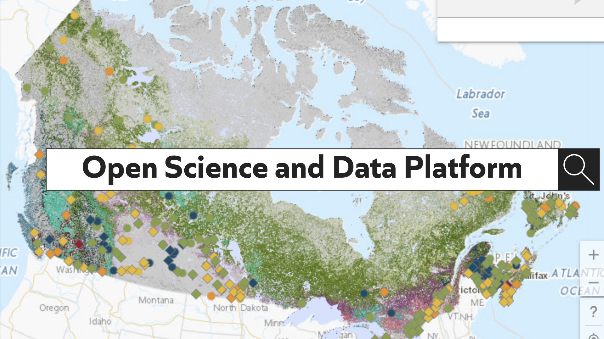
Co-led by NRCan and Environment and Climate Change Canada (ECCC), the Open Science and Data Platform is a key part of the impact assessment process. The platform helps enhance Canadians’ trust in our regulatory system by increasing access to data and science related to development activities, the environment and their communities while supporting impact and cumulative effects assessments.
“The Open Science and Data Platform was developed to place users at the centre of service design,” said Michel Crichton, Director of Cloud Enablement and Solution Delivery from NRCan’s Chief Information Officer Branch. “This, combined with the use of the latest cloud technologies, enabled the teams to deliver a cutting edge, agile, open and user-focused solution.”
By the end of the first five-year funding period (2018–2023), the platform will provide open access to close to 150,000 cumulative effects-related records, including geospatial data from federal, provincial and territorial providers, project impact assessment records, federal regulatory activities, maps and scientific publications.
Take a quick tour of the Platform!
Reflecting on five years of effective collaboration
At NRCan, a host of data scientists, developers and analysts have collaborated on the platform since 2018: the Canada Centre for Mapping and Earth Observation’s GeoDiscovery team, the Chief Information Officer Branch, and the Office of the Chief Scientist’s Impact Assessment and Science Capacity Team. To further their collaboration and develop a roadmap for further success, they along with others from ECCC’s Cumulative Effects Coordination Unit held an intensive multi-day workshop in early February.
They came together to discuss the Open Science and Data Platform’s plans for the next five years, including enhancing the technology for system sustainability and addition of geospatial technology to enable more mapping capability and provision of additional geospatial data, advanced search capabilities, and the addition of content from non-government sources, including Indigenous data and knowledge through collaboration with Indigenous partners.
“Ensuring open access to current and emerging scientific information on the cumulative impacts of resource development has to be a collaborative effort,” said Sonja Kosuta, Senior Director of Impact Assessment and Science Capacity at NRCan’s Office of the Chief Scientist. “Our department has significant experience in providing scientific data and expert advice in federal assessment processes, and our goal is to continue to serve as a major source of timely and relevant information to that effect.”
To help ensure that Phase II of the project is well supported, participants agreed on a need to develop a User Needs Assessment that would shed light on cumulative effects-related science and data gaps and a coordinated Engagement and Outreach plan. They also discussed Web infrastructure and technical requirements to support user uptake and analysis.
“The GeoDiscovery web technology solution and data onboarding and dissemination services provide the geospatial backbone for the Open Science and Data Platform,” said Allison Christie, GeoDiscovery’s Senior Director. “It connects and allows the user to discover and visualize federal contributions of current and historical environmental, scientific and socio-economic geospatial, or location-based data — a challenge that is commonly recognized among the impact assessment community.”
Successes to now
Users of the Open Science and Data Platform are now able to visualize, map and interact with multiple datasets and see changes over time via time series animation of Earth observation derived products and geospatial data.
The platform also now connects to several open information systems such as NRCan’s GEOSCAN database, Canadian Forest Service Library database, GeoDiscovery infrastructure and technology (formerly the Federal Geospatial Platform) as well as to regulatory registries namely the Impact Assessment Agency Registry, Transport Canada’s Navigable Waters Act Registry, Fisheries Act Registry, and Canada Energy Regulator’s BERDI (Biophysical, Socio-Economic, and Regional Data and Information) on pipelines tool.
To date, the platform has been used to support several regional cumulative effects assessments led by federal departments and agencies, including:
- the Regional Assessment in the Ring of Fire Area;
- the Salish Sea Initiative, which supports the monitoring, evaluation and reporting of environmental conditions by Indigenous communities;
- the Cumulative Effects in Marine Shipping project; and
- the Trans Mountain Expansions’ Terrestrial Cumulative Effects Initiative , which enables Indigenous groups to establish priorities and enhance Indigenous knowledge related to the cumulative effects in a region.
The platform has also been featured in Canada’s 5th National Action Plan on Open Government under the climate change and sustainable growth theme in terms of “making information related to cumulative effects, including climate change and sustainable growth, easier for people in Canada to find and understand.”
Tell us what you think
The Open Science and Data Platform will play an increasing role in terms of supporting intra- and inter-departmental efforts to advance public trust in decisions related to major development projects.
We invite you to explore the platform, starting with the What’s new gallery. You can help improve it by providing feedback. To suggest new content or schedule a demo, contact the Content and Engagement team at osdp-psdo@nrcan-rncan.gc.ca.