
Mapping the way for more efficient major projects reviews
In 2025, Canada announced a new Major Projects Office that will fast-track nation-building projects by streamlining regulatory assessment and approvals. The Open Science and Data Platform (OSDP) provides Canadians with access to government science and data that are relevant to development decisions.
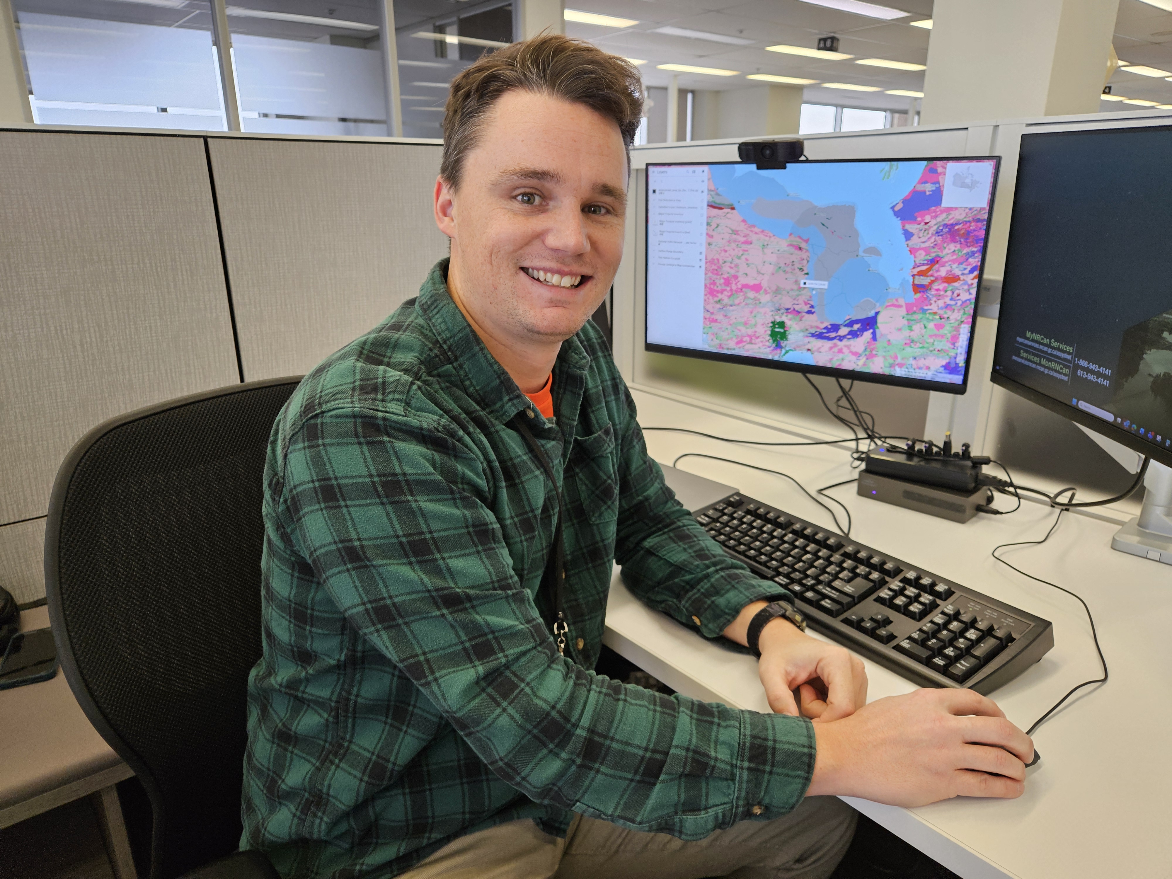
Colter Kelly uses the Open Science and Data Platform in his work coordinating technical and scientific advice into impact assessment processes.
“Canadians can use this tool to understand what development is considered in their region, and what the impacts could be,” says Colter Kelly, a Senior Impact Assessment Officer at Natural Resources Canada (NRCan).
Colter is an Earth scientist by trade who began his professional career as a researcher at the Geological Survey of Canada. Now, he coordinates NRCan’s technical and scientific advice into impact assessment processes at the project and regional scale.
“The role of my team is to bridge the gap between NRCan’s science with regulatory processes and policy,” he says.
In Canada, federal impact assessments are conducted to examine the positive and negative effects that a proposed major project (for example, a dam, port, or mine) could have on areas of federal jurisdiction and in the traditional territories of Indigenous Peoples, including effects on migratory birds, wildlife, fish, and their habitats. The goal is to identify and understand potential significant effects and ways to avoid or mitigate risk before projects are built, as well as enhance a project’s positive impacts while also addressing the interests of Indigenous rightsholders.
What are cumulative effects?
Cumulative effects are environmental, socio-economic and health changes to an area caused by human activities over time. It can include both positive changes such as job creation and negative impacts such as loss of habitat for native species. While each individual change may be minor, cumulative effects considers how these changes interact and amplify collectively.
With the OSDP, Canadians can explore data related to their regional watershed, for example, current water levels, or learn about species at risk. Users can zoom into an area on the map of Canada or search by keyword for location or topic, and the platform will populate a search results page with the datasets, publications, environmental monitoring sites, regulatory records and curated content collections that are available.
“The mapping tool allows us to visualize data quickly and easily, while also helping understand the possible cumulative effects of major development projects,” Colter says, explaining that seeing it all on a map makes it accessible and digestible for non-scientists. “You start building a story as you overlay datasets.”
Colter often uses the curated collections on the platform, which gather related datasets for a specific area or project. For example, the Resources to Understand Cumulative Effects in Northern Ontario collection has a sample set of map layers to introduce users to the datasets related to the Ring of Fire, an 8,000-square-kilometer area rich with critical minerals in Northern Ontario.
Colter highlighted how the collection filtered and curated relevant data at a recent working group meeting on the Regional Assessment in the Ring of Fire area, which included representatives from 15 First Nation communities and the Impact Assessment Agency of Canada. It was well received, because it will advance one of the objectives of the regional assessment to gather and provide an inventory of existing data and knowledge.
Colter explains that the side-by-side comparison and data visualization in the OSDP mapping tool can help expedite the review process as stakeholders and Indigenous groups can quickly and easily access and interpret information.
“This tool can help people understand how the technical data relates to real-world impacts and can create efficiencies in regulatory reviews by centralizing data,” he says.
New collections are regularly being added such as the Resources to Support Assessment of Major Projects in Northwestern British Columbia collection. This curated collection explores the Golden Triangle area, which is home to 75 per cent of Canada’s known copper reserves.
The OSDP is part of Canada’s plan to reduce red tape through digital innovation. With a single-window access point, the goal is to reduce administrative burden for proponents, make regulatory reviews more efficient, and increase public trust in evidence-based decisions.
Have you used the OSDP in your work? If so, we’d love to hear from you? Tell us how at: osdp-psdo@nrcan-rncan.gc.ca.