
The Open Science and Data Platform: bringing publicly available information together to help better understand cumulative effects
Every time a new major project, such as a mine or an offshore wind farm, is proposed, governments, with important participation by key stakeholders and Indigenous Peoples, conduct environmental or impact assessments. These serve to evaluate how that project might affect local communities, ecosystems, and wildlife, including to assess both positive and negative environmental, economic, social, and health impacts at a project level. The results of the assessments are important to ensure that before projects are permitted to proceed, they are in the interest of the public. It is also a way to inform future decisions on a regional basis, by assessing combined effects of multiple projects and activities.
During these assessments, a common challenge is gathering relevant information, including regulatory information, from federal, provincial, and territorial governments and presenting it in a way that is understandable for Canadians so they can meaningfully participate in the assessment process.
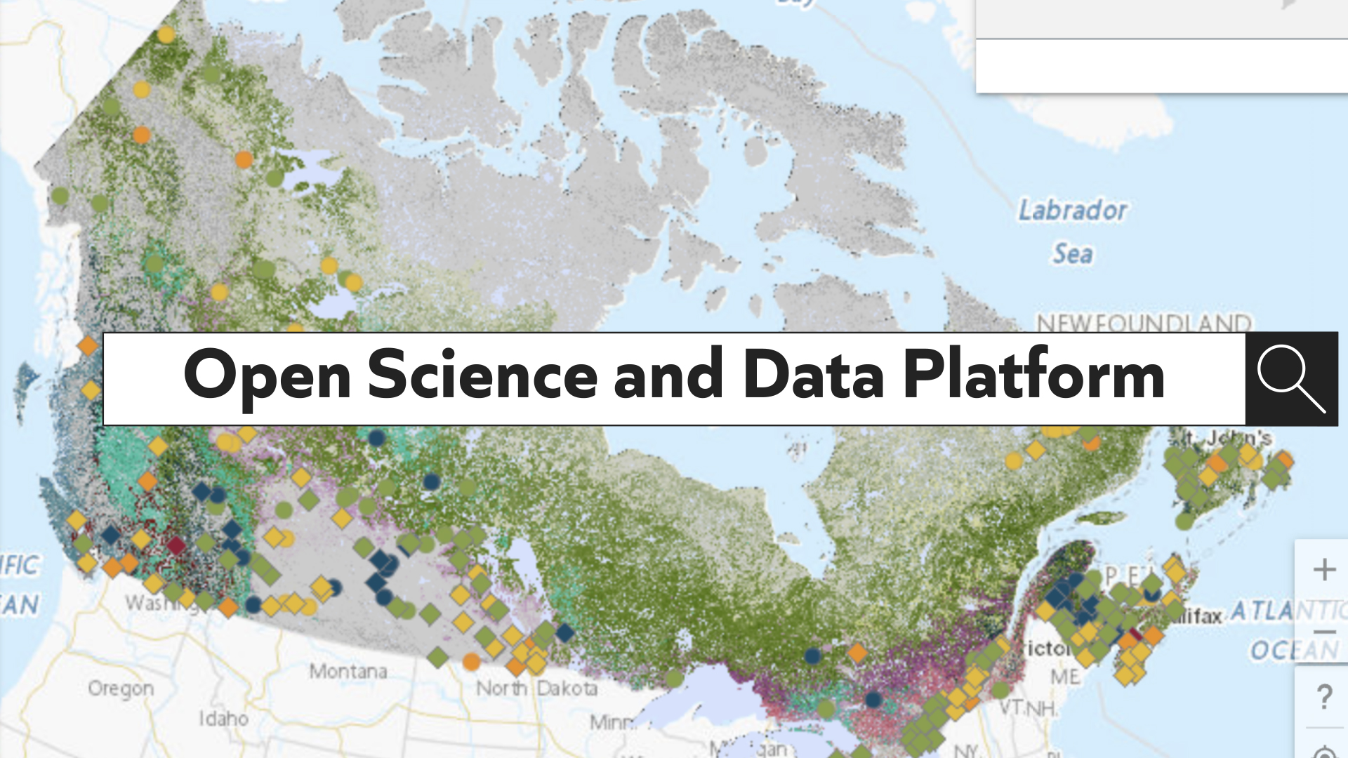
This is why the Open Science and Data Platform (OSDP), co-led by Natural Resources Canda (NRCan) and Environment and Climate Change Canada (ECCC), was created: to provide Canadians with easy access to ‘open’ (i.e. already in the public domain) science, data, and other information that is otherwise dispersed over the federal-provincial digital landscape. By creating a one-stop-shop for access and by allowing users to interact with the data through a geospatial mapping tool, the OSDP can be used to better understand the cumulative effects of past, present, and future human activities, can support impact assessment and related regulatory processes.
Content collections
The OSDP hosts Important information like research papers, datasets, and curated collections of information, called content collections, that relate to key topics, such as species at risk or regions of interest. One example is the Resources to Understand Cumulative Effects in Western Canada collection, developed to support the Terrestrial Cumulative Effects Initiative, an accommodation measure that is enabling Indigenous communities to conduct studies that address cumulative effects related to the Trans Mountain Expansion Project.
Content collections can also support Regional Assessments undertaken under the federal Impact Assessment Act, like the Resources to Understand Cumulative Effects in Northern Ontario collection, developed to support work with the Province of Ontario, Indigenous communities, and other groups in determining the activities of the Regional Assessment in the Ring of Fire Area region, described in a feature article named after the collection.
New content collections for Atlantic offshore and Abitibi-Témiscamingue regions of interest
What are Regional Assessments?
Regional assessments are studies conducted in areas of existing projects or anticipated development to inform planning and management of cumulative effects and aid in project impact assessments. They allow the Government of Canada to go beyond project-focused impact assessments to understand the regional context and provide more comprehensive analyses to help inform future impact assessment decisions.
More recently in 2023, two new content collections were released on the OSDP:
- Resources to Understand Potential Effects from Offshore Wind Development in Atlantic Canada, developed in collaboration with the Impact Assessment Agency of Canada, to support two regional assessments conducted in that area that will inform potential future offshore development: Offshore Wind Development in Newfoundland and Labrador and Offshore Wind Development in Nova Scotia; and
- Resources to Understand Cumulative Effects in the Abitibi Region, developed in collaboration with the Impact Assessment Division of Natural Resources Canada’s Office of the Chief Scientist, is focused on a region where forestry and mining development continues to take place.
Both content collections are tools to support stakeholders’ and Indigenous People’s participation in impact assessment, regional assessments, and evidence-based decision making.
How are content collections created?
Cataloguing of science and data content that is easily discoverable through tailored search and filter features is an example of “effectively stewarding data for decision-making” and “transforming data into insights to achieve high-impact opportunities,” which are both guiding principles of the 2023–2026 Data Strategy for the Federal Public Service. This strategy has set renewed open data expectations for the federal public service, and has been an added impetus for the project development team behind the OSDP to curate collections of data and information in specific regions of interest.
Content collections are created through a collaborative process with subject matter experts. Individual datasets and publications are identified from the Platform’s catalogue where they are relevant both from a topical and geographical standpoint to provide a picture of cumulative effects in the geographic region of interest.
The right balance to offer new perspectives
“Cumulative effects-related science and data can play a central role when it comes to planning at a regional level to shape and structure the future of a geographic region,” says Dr. Ranjana Sharma, NRCan’s Chief Scientist. “It can help define the opportunities associated with economic development, as well as identify the risks to social, economic and ecological environments.”
Whether for communities, focused on seeking a sustainable balance between potential natural resource development and the protection of the local environment, or industry groups who may eventually be interested in developing and submitting project proposals to responsible governments, curated content collections available through the OSDP can play an important role in the understanding of cumulative effects in specific regions of interest.
Find out more about the Open Science and Data Platform.
Did you know?
The Open Science and Data Platform provides access to data, scientific publications, regulatory information and content collections that can be used to help increase our understanding of cumulative effects, but also a variety of other sources of information like story maps. Story maps are essentially visual journeys that harness interactive mapping technology to support storytelling.
Now available on the platform, Overview of Cumulative Effects Research at Natural Resources Canada 2018-2023 is a story map that takes the reader through the locations where cumulative effects research was undertaken across Canada by NRCan. Developed by the Canada Centre for Mapping and Earth Observation’s GeoDiscovery team, in collaboration with the Canadian Forest Service’s Forest Information Services Division, the Geological Survey of Canada and the Office of the Chief Scientist, it showcases the different types of research, from baseline studies to more applied Regional Assessment-type research, which help us better understand the cumulative effects of human activities.